Forum Discussion

 Helper II
Filed map by Territory by multiple Geocodes


 Microsoft Employee
Hi minhvuong93,
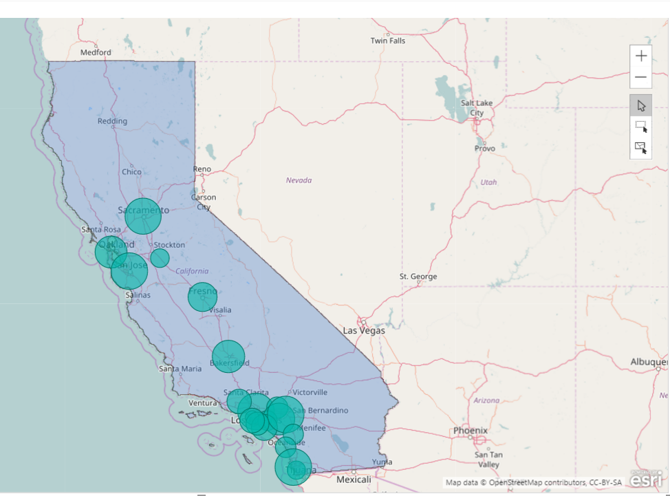
Have you tried applying a Reference Layer for the area where you want to add the the Boundary on the ArcGis map in this scenario? Here is a similar thread for your reference. :smileyhappy:
Regards
 minhvuong939 years ago
Thanks v-ljerr-msft for the recommendation . However I cannot find a map on ArcGis of my country with detail into District / Ward....
- v-ljerr-msft9 years ago
Hi minhvuong93,
If your organization has a shapefile that defines custom boundaries (water districts, sales districts, or zoning boundaries, for example), you can publish it as a hosted feature layer in ArcGIS Online, and then add it as a reference layer to your ArcGIS Maps for Power BI visualization. To use custom reference layers, they must be publicly shared, hosted polygon feature layers in ArcGIS Online. For more details about add custom reference layers to ArcGIS, you can refer to this article. :smileyhappy:
Regards